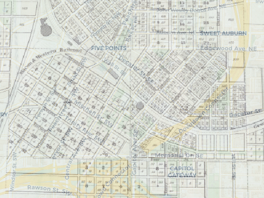
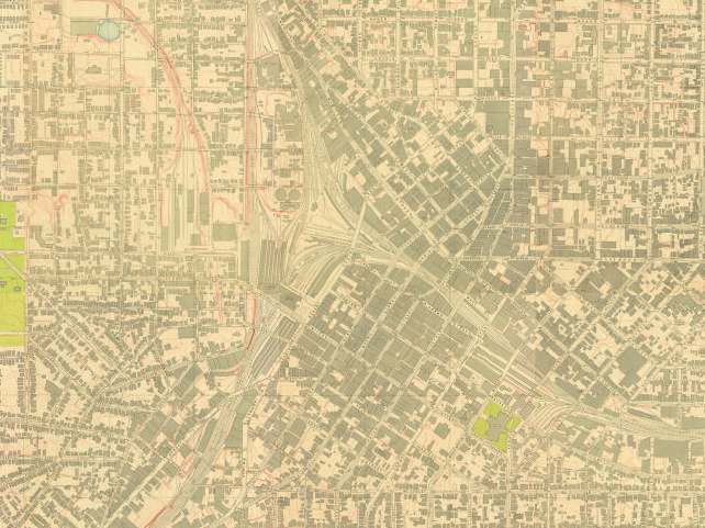
See how Atlanta’s geography has changed over time by overlaying and toggling between modern satellite-imaged maps and our uploaded map collection dating as far back as 1853.
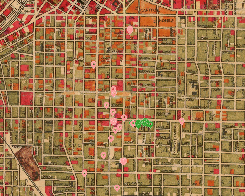
Uncover the lived experiences of communities around Turner Field whose physical traces have disappeared beneath interstates, stadiums, and parking lots.